![]()
|
Goliath's Cave |
|||||||
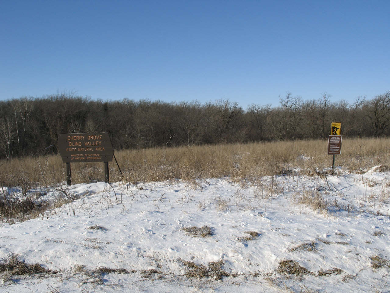
| Goliath's Cave is an extensive Fillmore County Minnesota cave system which was discovered, documented and surveyed by Minnesota cavers. Access to the cave had been banned after the goverment purchased it in 1988. In 2004 the Minnesota Cave Preserve acquired several surface acres above the cave, including 358 subsurface cave rights, and created a second entrance. The upper level of the cave has large dry passages, in contrast to the occasionally turbulent lower stream levels. Numerous underground stream tributaries conjoin within the lower level, and over thousands of years have sculpted a series of expansive winding passages. After numerous discoveries were made by the Minnesota Caving Club, the final surveyed length of the cave system stands at 2.39 miles.
View the MAP |
Click for larger view |
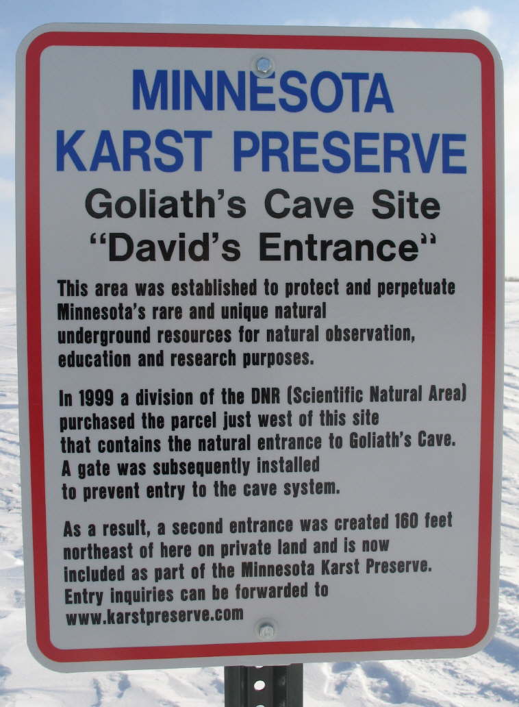
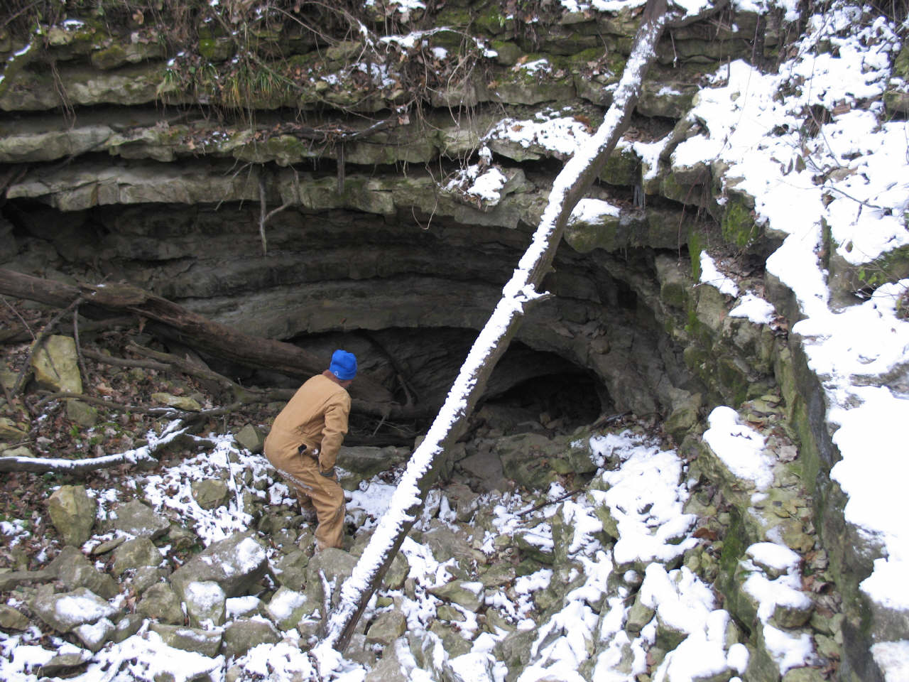
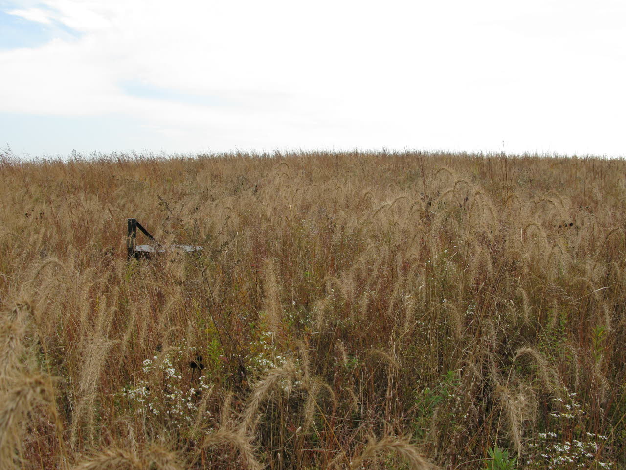
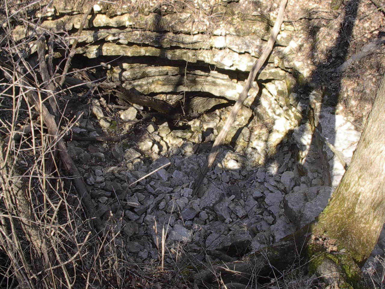
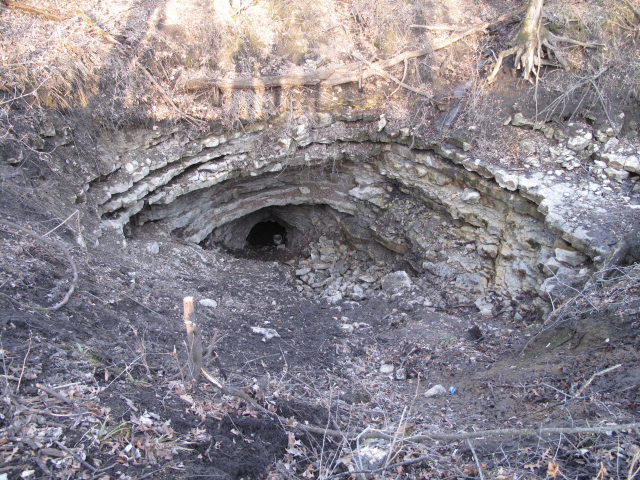
This is the natural entrance to Goliath's Cave where the main cave system was originally discovered. It is now in possession of the Division of Natural Resources/SNA. |
After
the DNR/SNA purchased the natural cave entry site and the surrounding
40 acres the property was promptly posted. Cavers keep out! |
 Click for larger view |
 Click for larger view |
Even
though cavers discovered, surveyed, and photo documented the cave we were
specifically shut out. |
DNR/SNA
gate just inside the sinkhole entrance. |
 Click for larger view |
 Click for larger view |
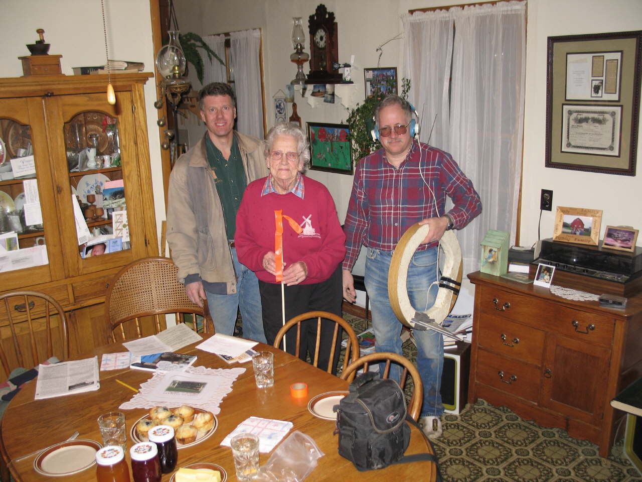
Venita Sikkink (adjacent property owner) and her family were aware that they owned a significant portion of Goliath's Cave and did not want cavers and scientists restricted. John Ackerman was notified of their intentions, which led to numerous meetings where options were discussed. The map held in the photo shows a portion of the Goliath Cave system. The SNA used the map that cavers created and overlaid topographical features onto it. |
Subsequently the Sikkink family made the decision to sell John Ackerman several surface acres above the cave so a second access could be created. In addition, 358 subsurface cave rights to the cave system were included. This photo was taken at Spring Valley Caverns. |
 Click for larger view |
 Click for larger view |
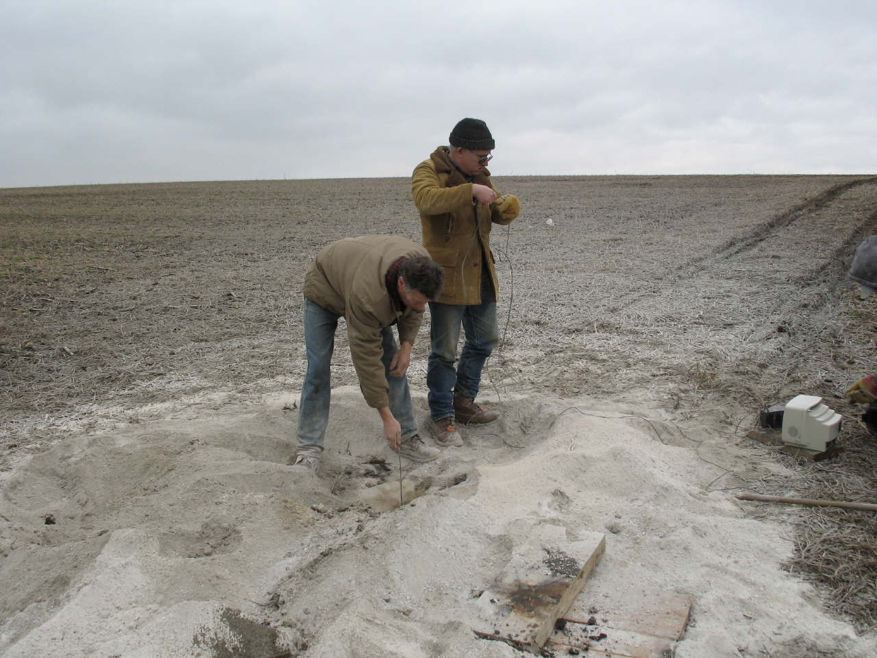
It
was relatively simple to locate the cave under the Sikkink property using
the accurate surveyed map that cavers had previously generated. After
a painstaking precise above-ground survey was conducted, a test hole (drilled
by a quarry drill rig) verified that we were directly above the cave.
A large void
was encountered at 75 feet. John Ackerman and Dave Gerboth lower a special
camera down the hole to identify the target and determine the exact
position for the new entry shaft. |
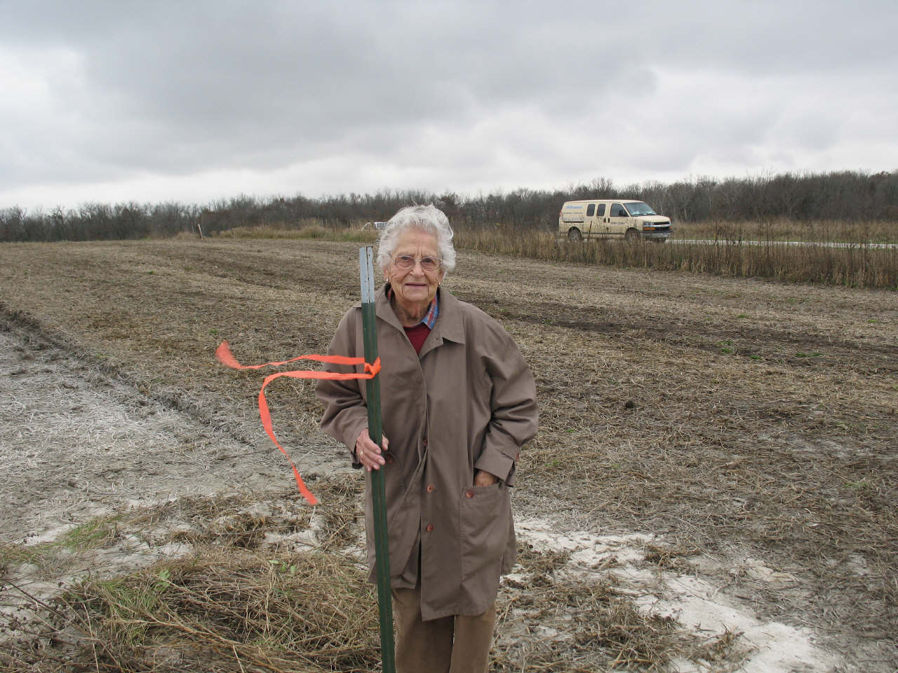
At
91 years old, Ventia Sikkink just can't wait to get this project done!
She stands at the future entry site. |
 Click for larger view |
 Click for larger view |
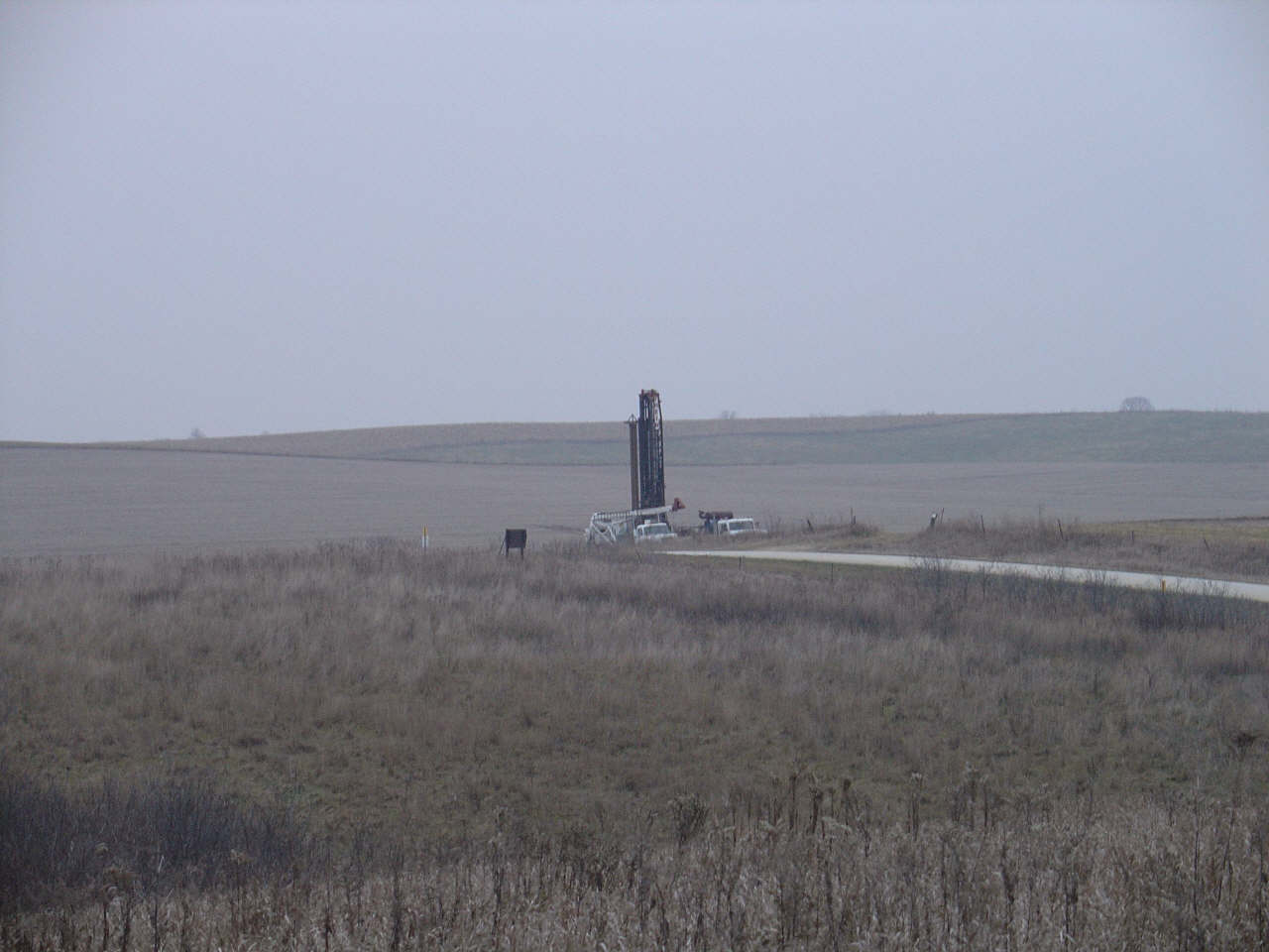
Drilling
of the new entrance takes place right across the road from the DNR/SNA
property. The new entry shaft will be 30 inches in diameter. |
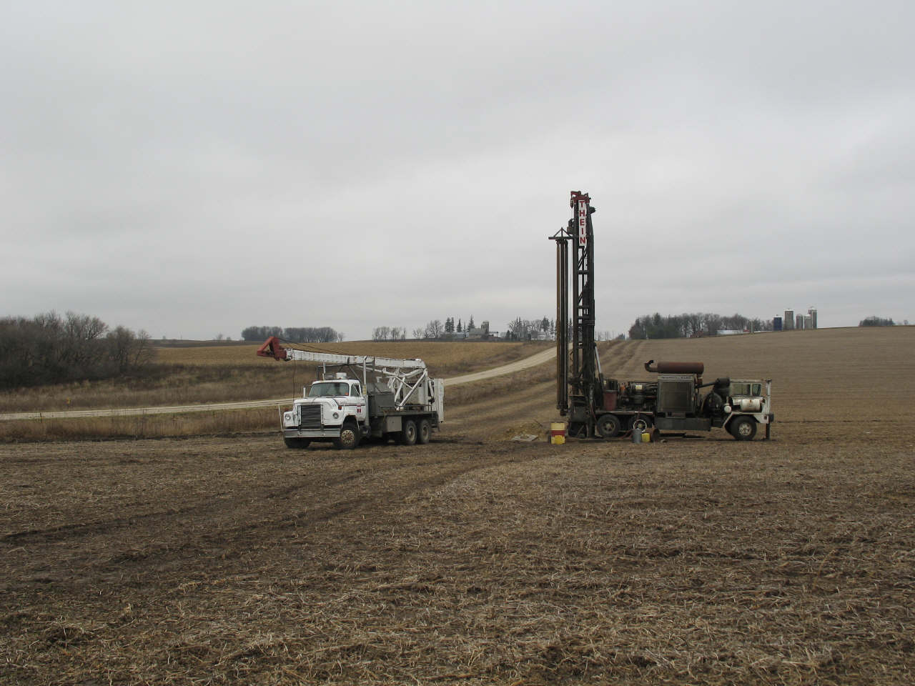
This
is no small task. The largest well drilling firm in the Upper Midwest
is contracted to accomplish the project. |
 Click for larger view |
 Click for larger view |
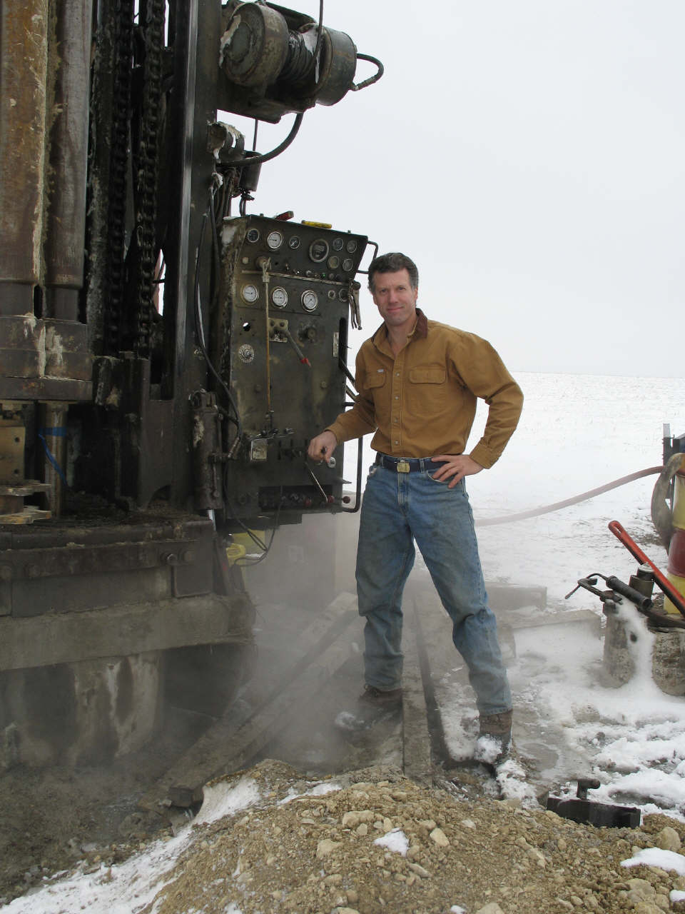
John
Ackerman |
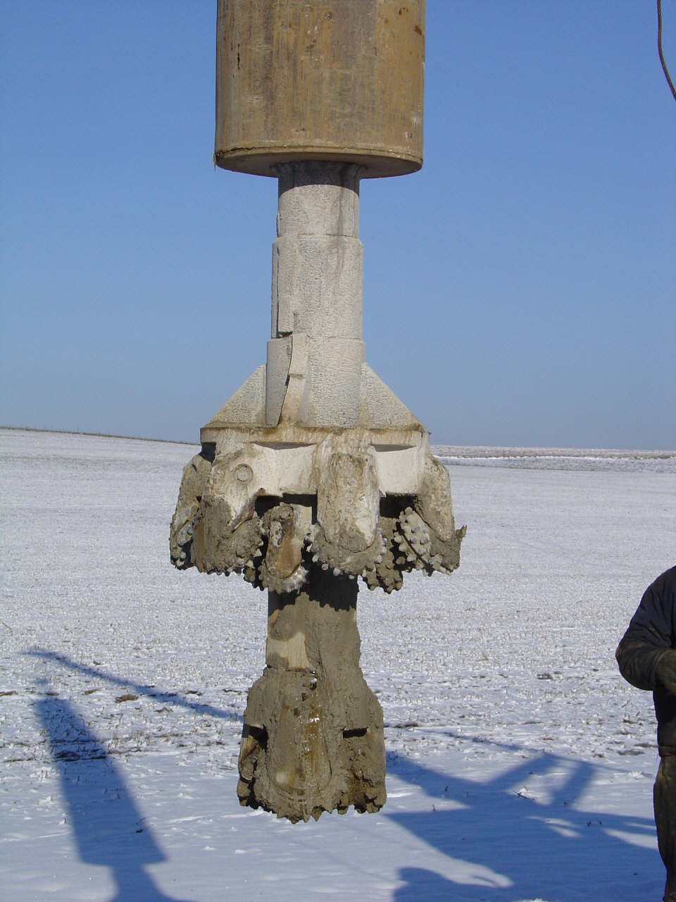
This
rare 2-part 30" diameter bit is used to drill the shaft after a stabilizer
system is installed. |
 Click for larger view |
 Click for larger view |
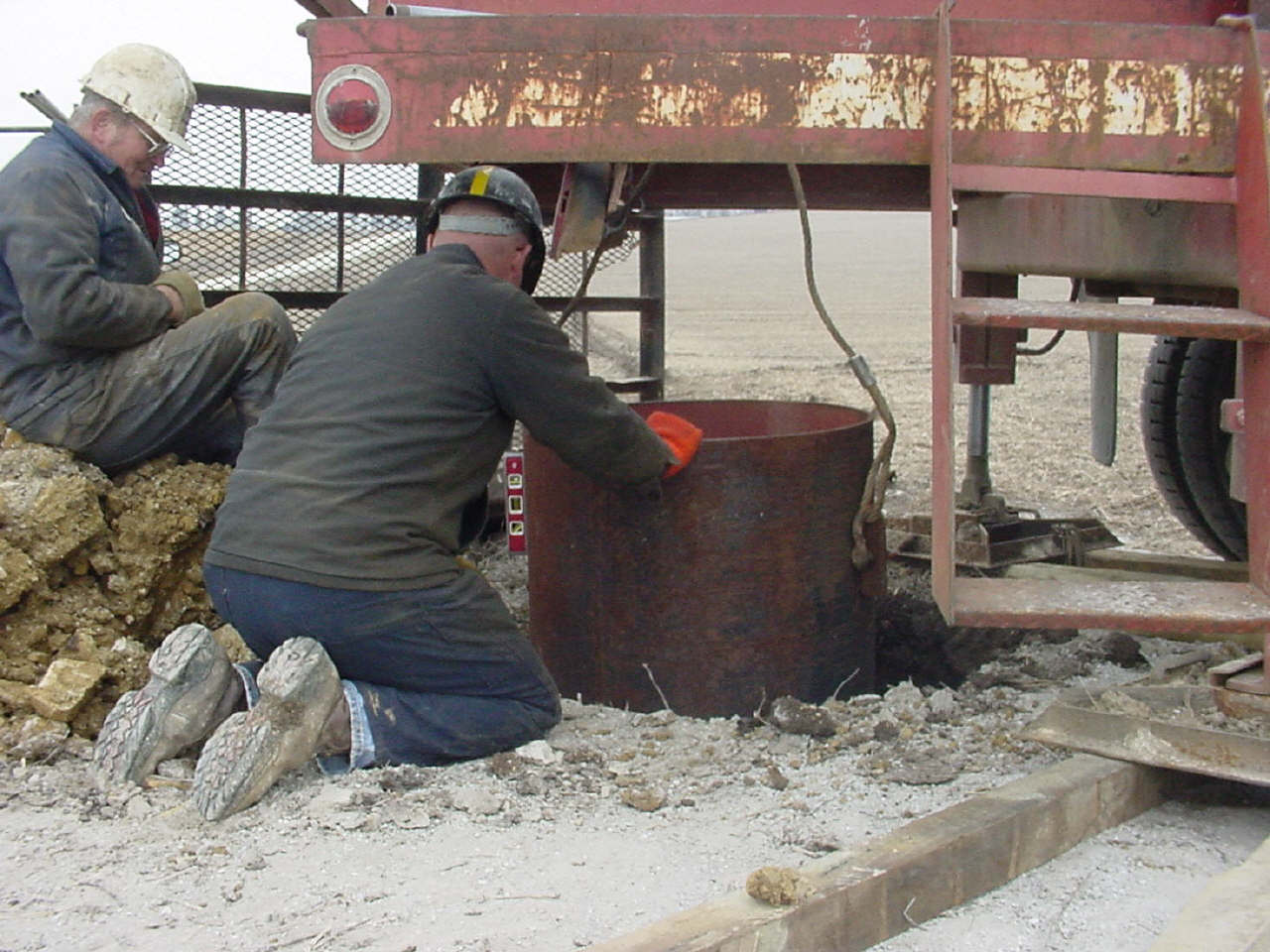
Leveling
the case before grouting with cement. This is the second such entrance
project Thein Well has done for us. |
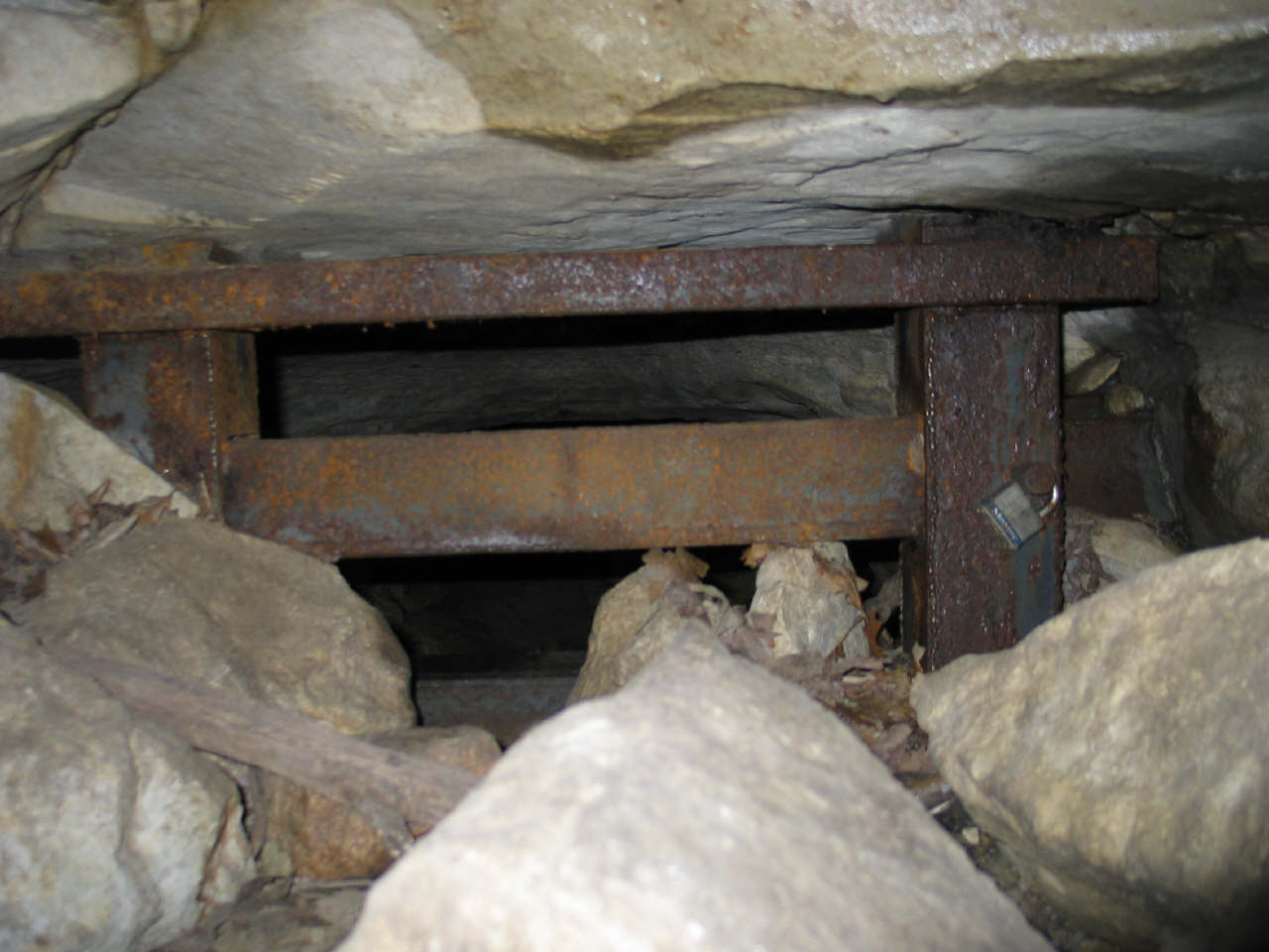
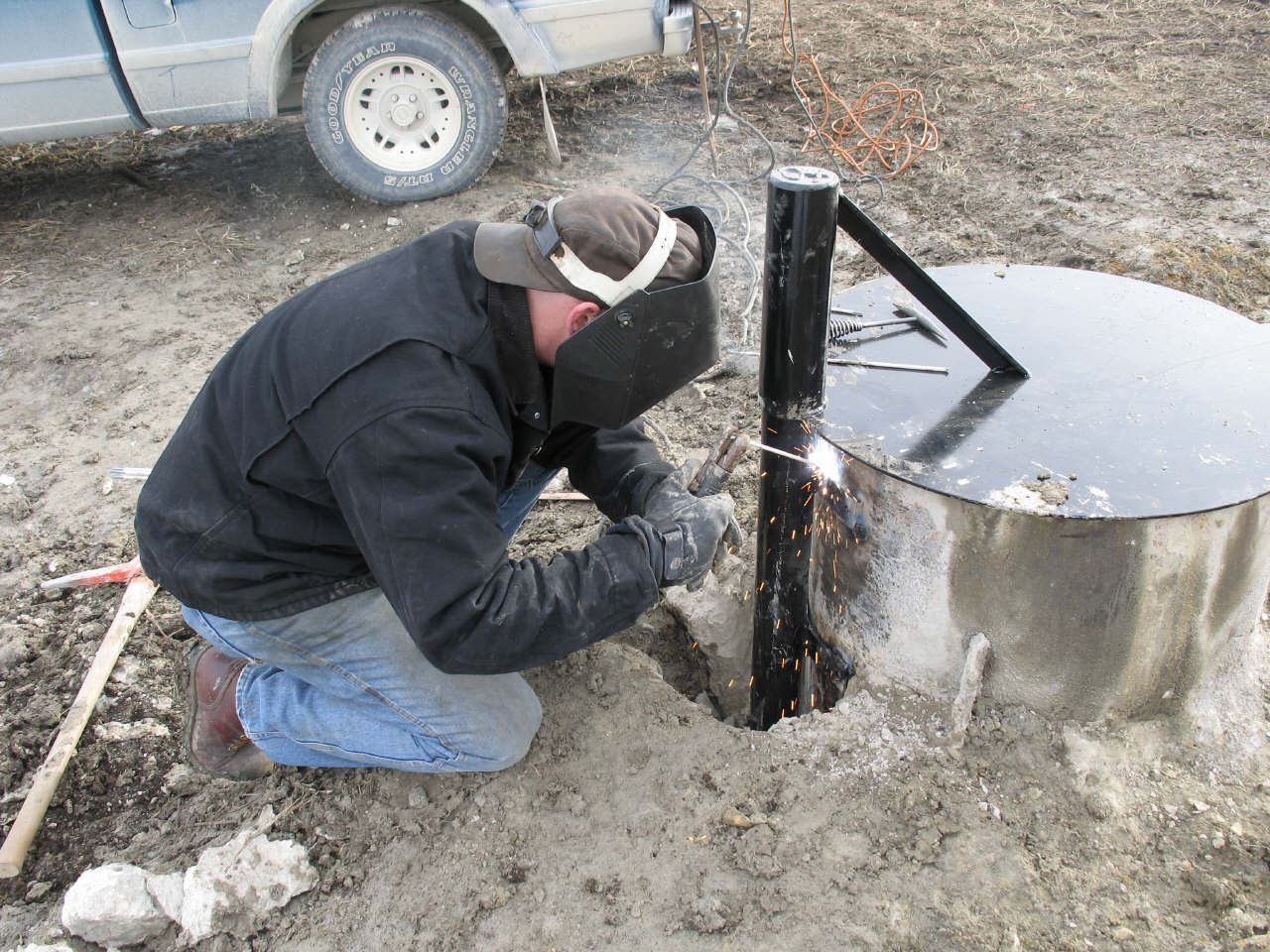
A
thick steel lid with locking mechanism is installed. |
 Click for larger view |
 Click for larger view |
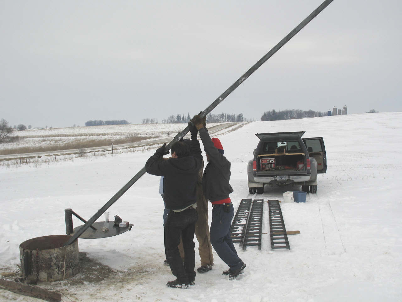
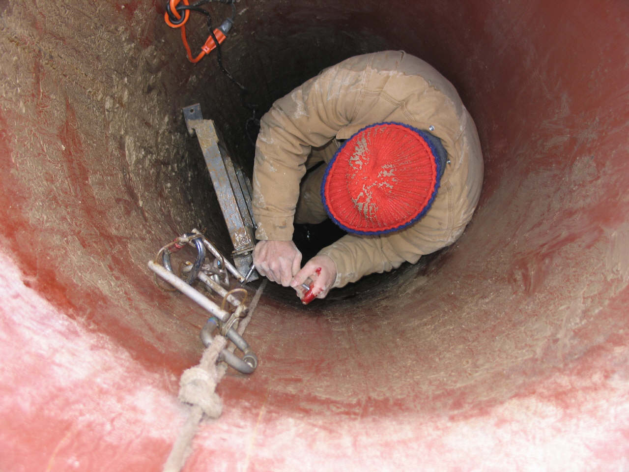
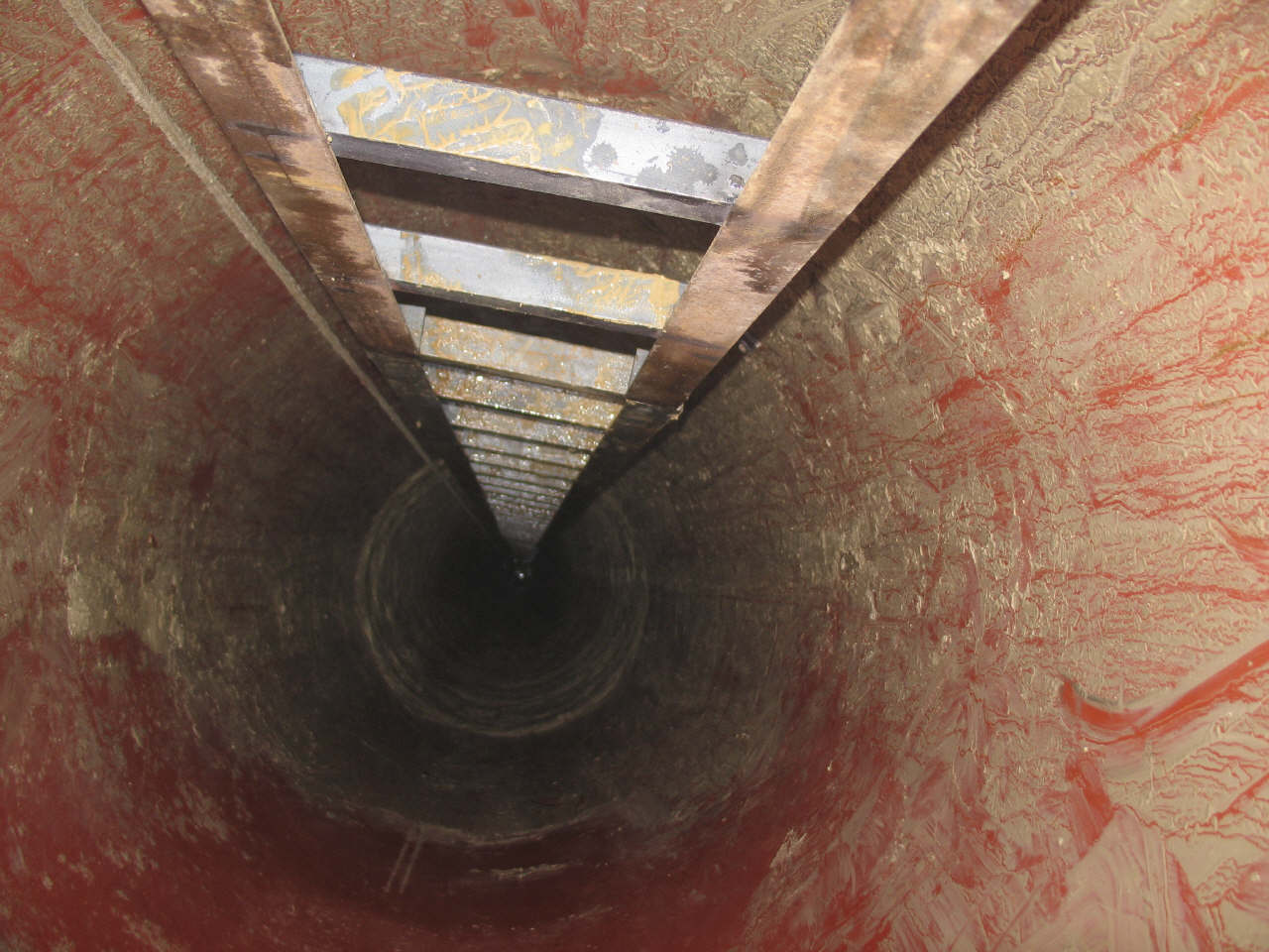
Custom
ladder sections were manufactured for the project. |
The
ladder sections were attached to the shaft using custom made brackets. |
 Click for larger view |
 Click for larger view |
Never
say never. |
The
new Minnesota Cave Preserve signs are installed directly across from the
DNR/SNA signs. Once again exploration and scientific studies can resume. |
 Click for larger view |
 Click for larger view |
"We
The People?" |
"We
The People" |
|
 Click for larger view |
The
new entrance site was restored to a natural prairie. |
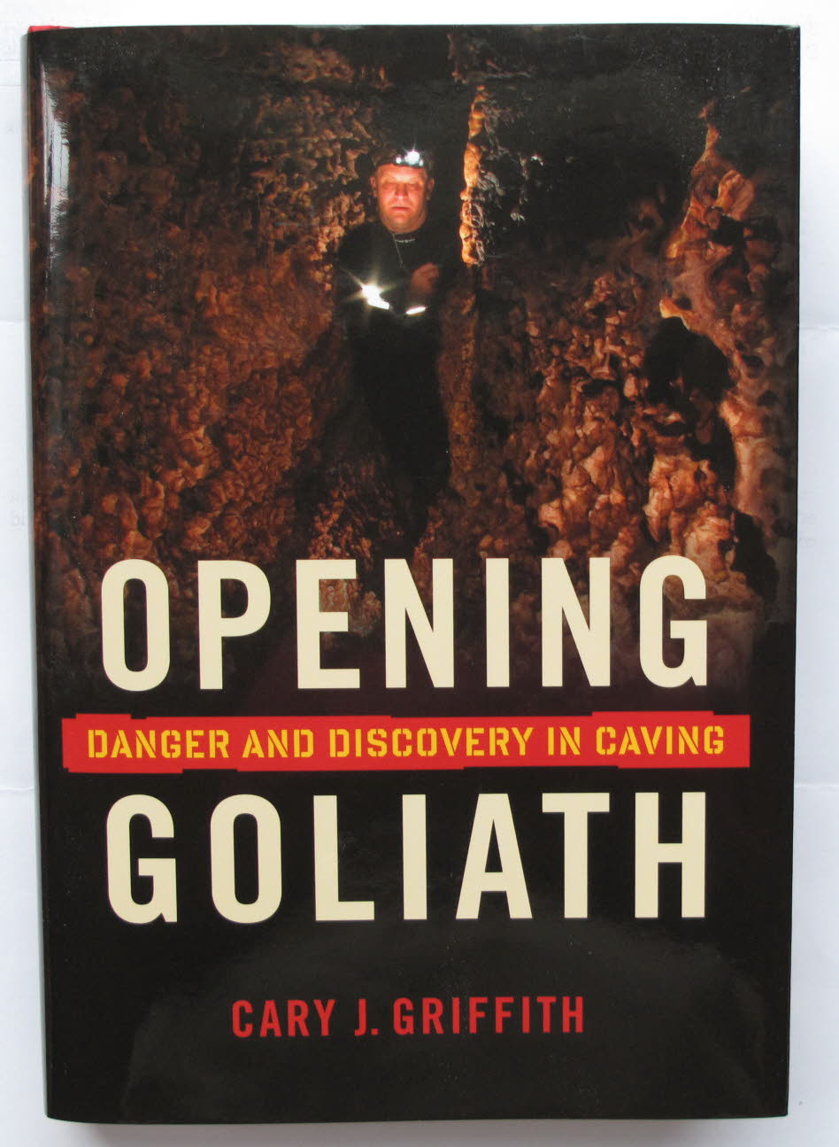
Adventure
writer Cary Griffith recounts the riveting story of how cave explorer
John Ackerman created David's entrance into Goliath's Cave, effectively
circumventing government control of the cave. |
|
--- Underground --- |
|
 Click for larger view |
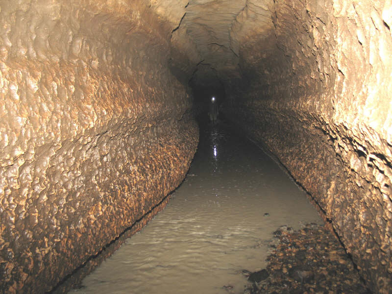
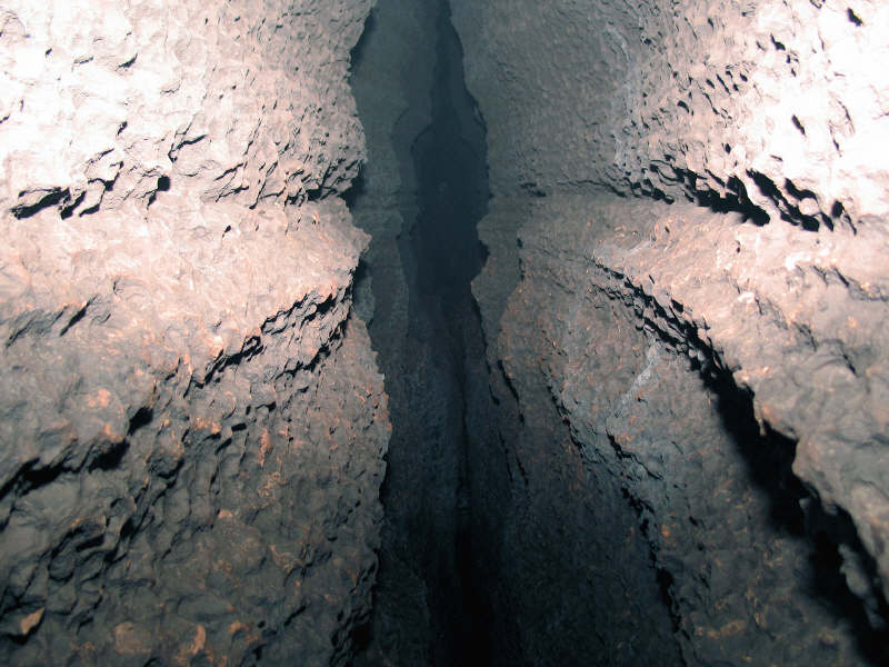
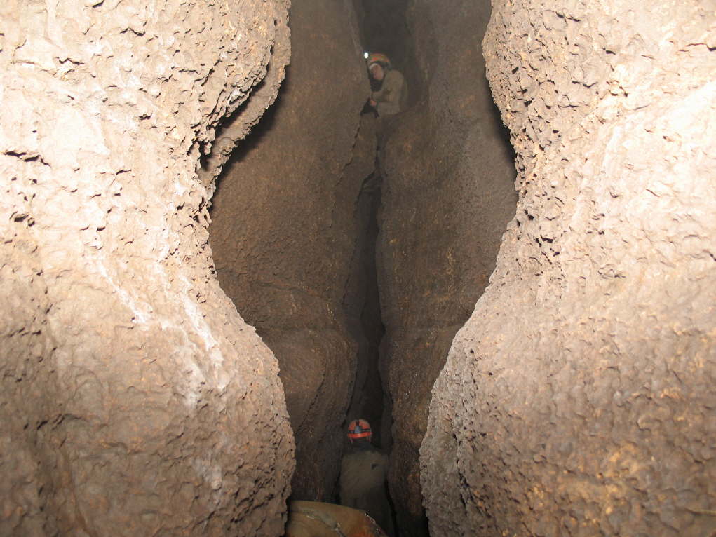
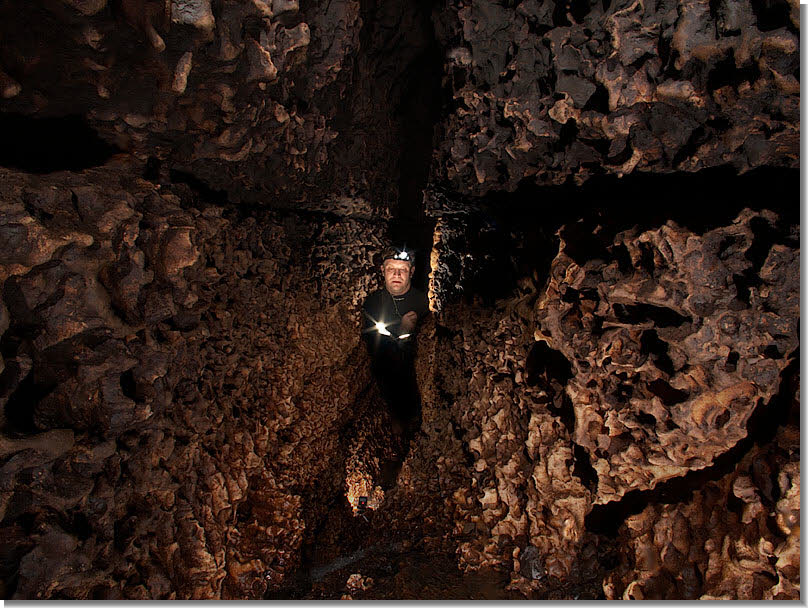
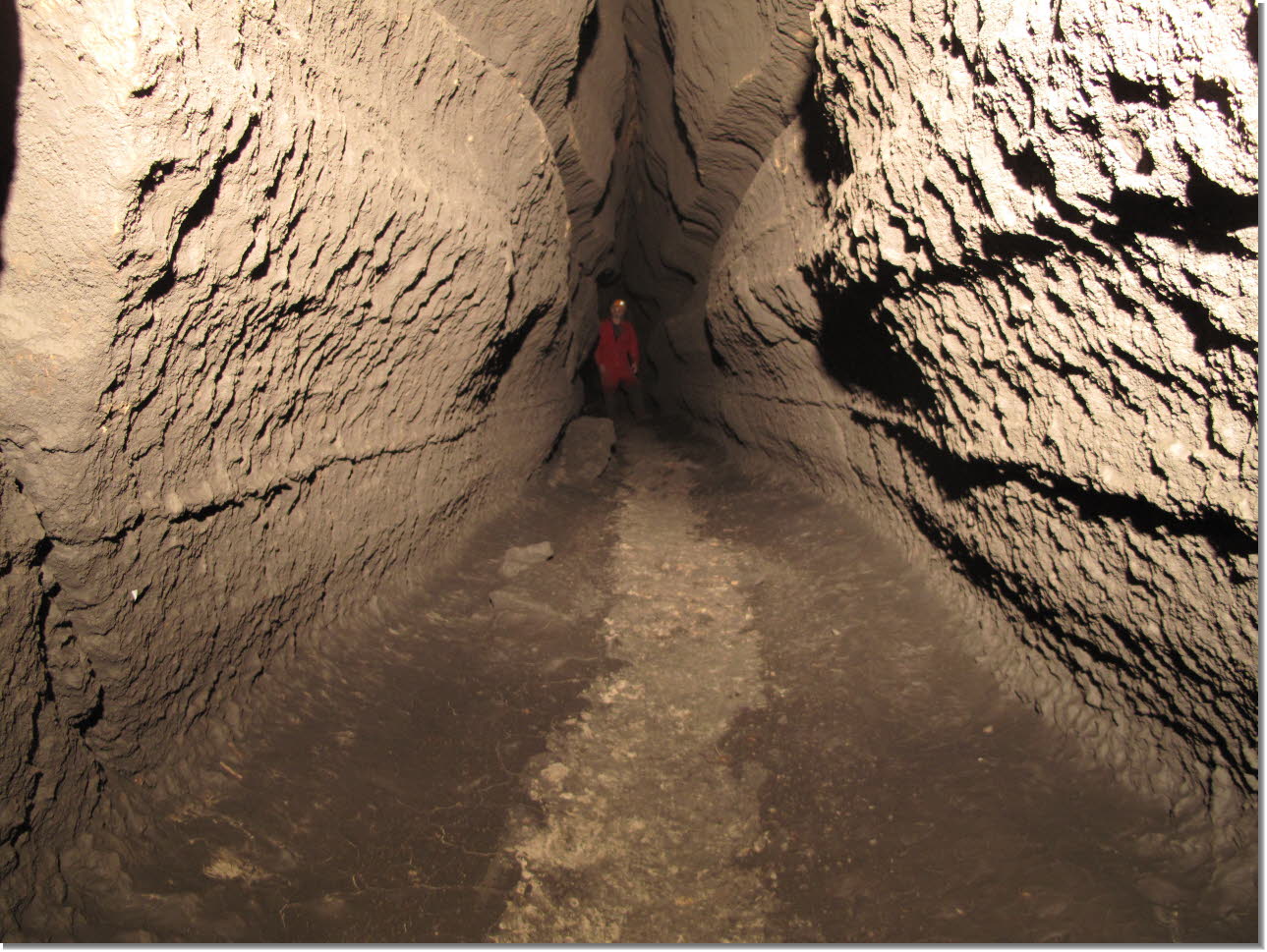
Almost all of the cave passages under the Minnesota Cave Preserve property are spacious. The ceilings can rise over 100 feet! |
The
water and air temperature are always 48 degrees, no matter what the weather
is above ground. |
 Click for larger view |
 Click for larger view |
These
slabs probably crashed down thousands of years ago. |
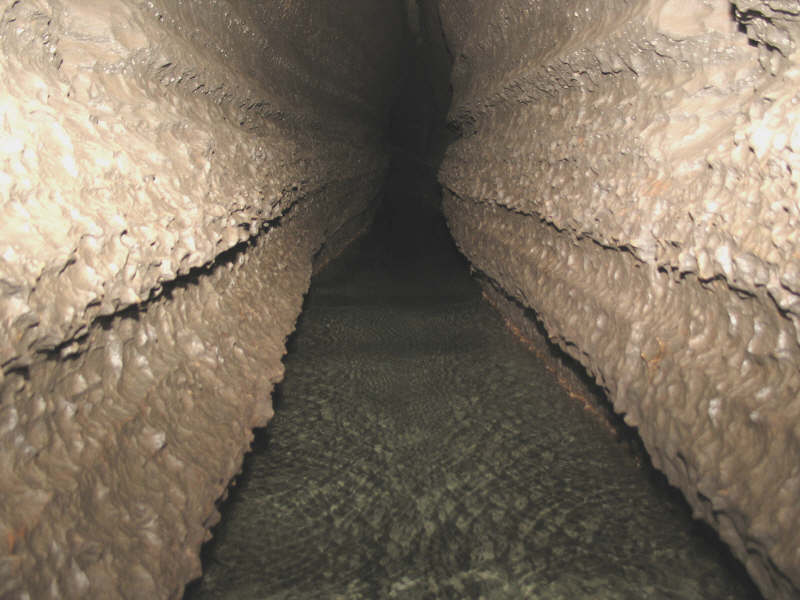
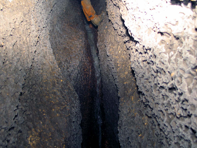
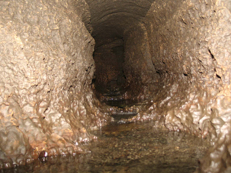
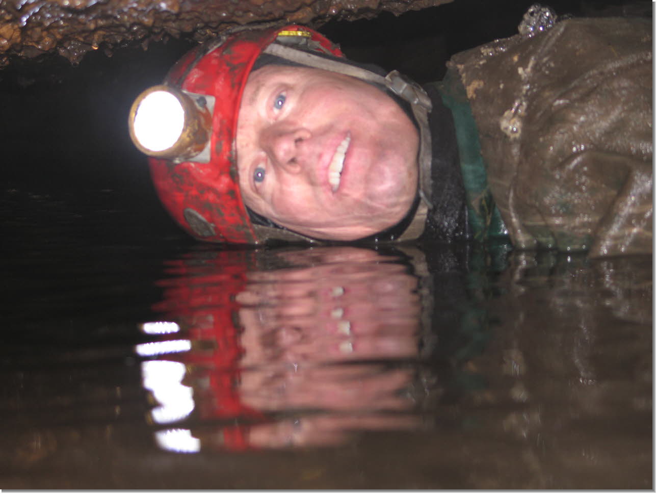
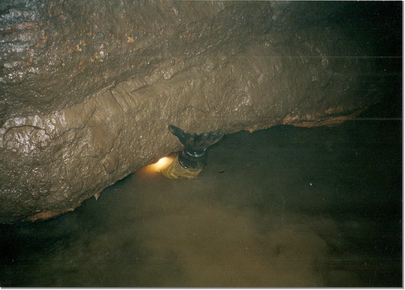
Portions
of the main passage (The Rubicon) can get quite deep. |
 Click for larger view |
 Click for larger view |
As
the main passage trends east the stream cuts deeper through the rock. |
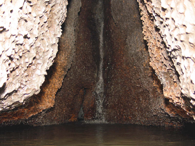
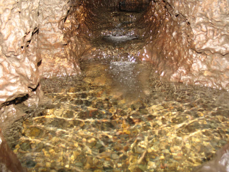
Finally
an incredible waterfall is encountered. Several fish were seen swimming in the pool below the falls. |
 Click for larger view |
 Click for larger view |
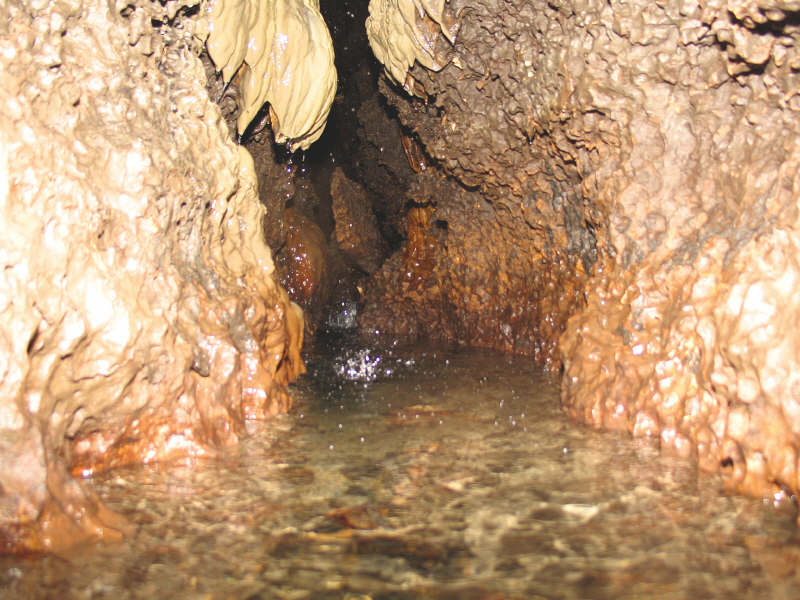
Scientists
are analyzing the white growth on the walls in an attempt to understand
what it is and what causes it. |
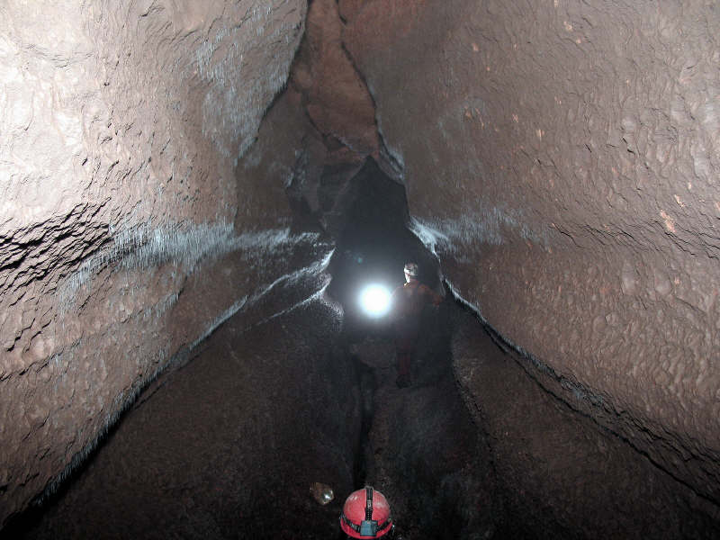
Lower level of Goliath’s Cave |
 Click for larger view |
 Click for larger view |
Lower
level of Goliath’s Cave |
This
cave is alive and vibrant! |
 Click for larger view |
 Click for larger view |
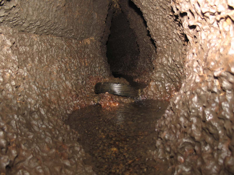
This tire was washed deep into the cave from one of numerous sinkholes located under the SNA/DNR property. Surface debris continues to flow into the cave through sinkholes located on the SNA property. |
Water
swirled around this pocket, causing a thin layer of calcite to form over
thousands of years. |
 Click for larger view |
 Click for larger view |
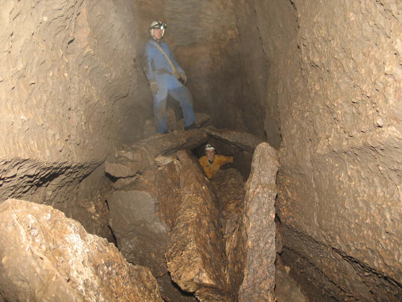
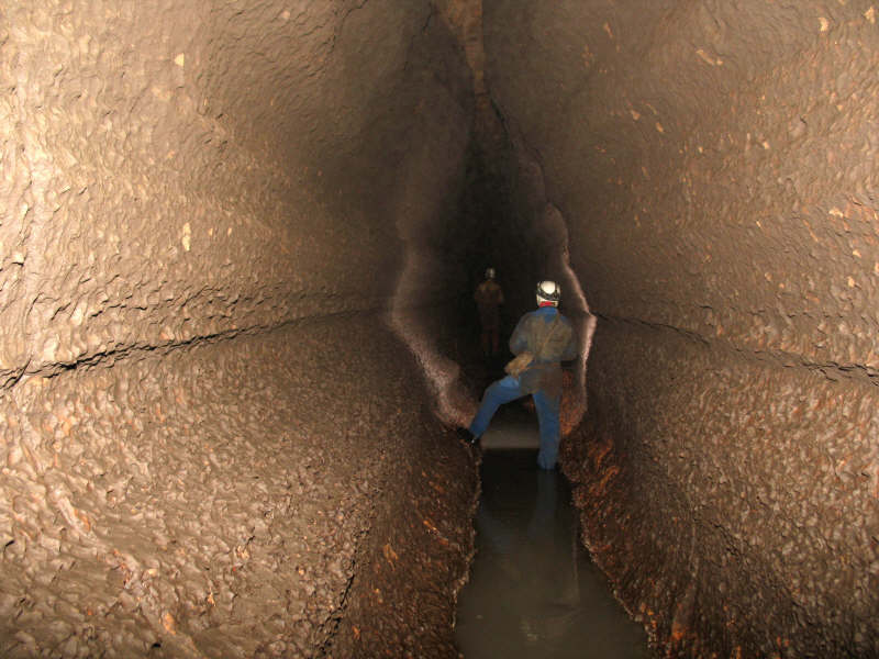
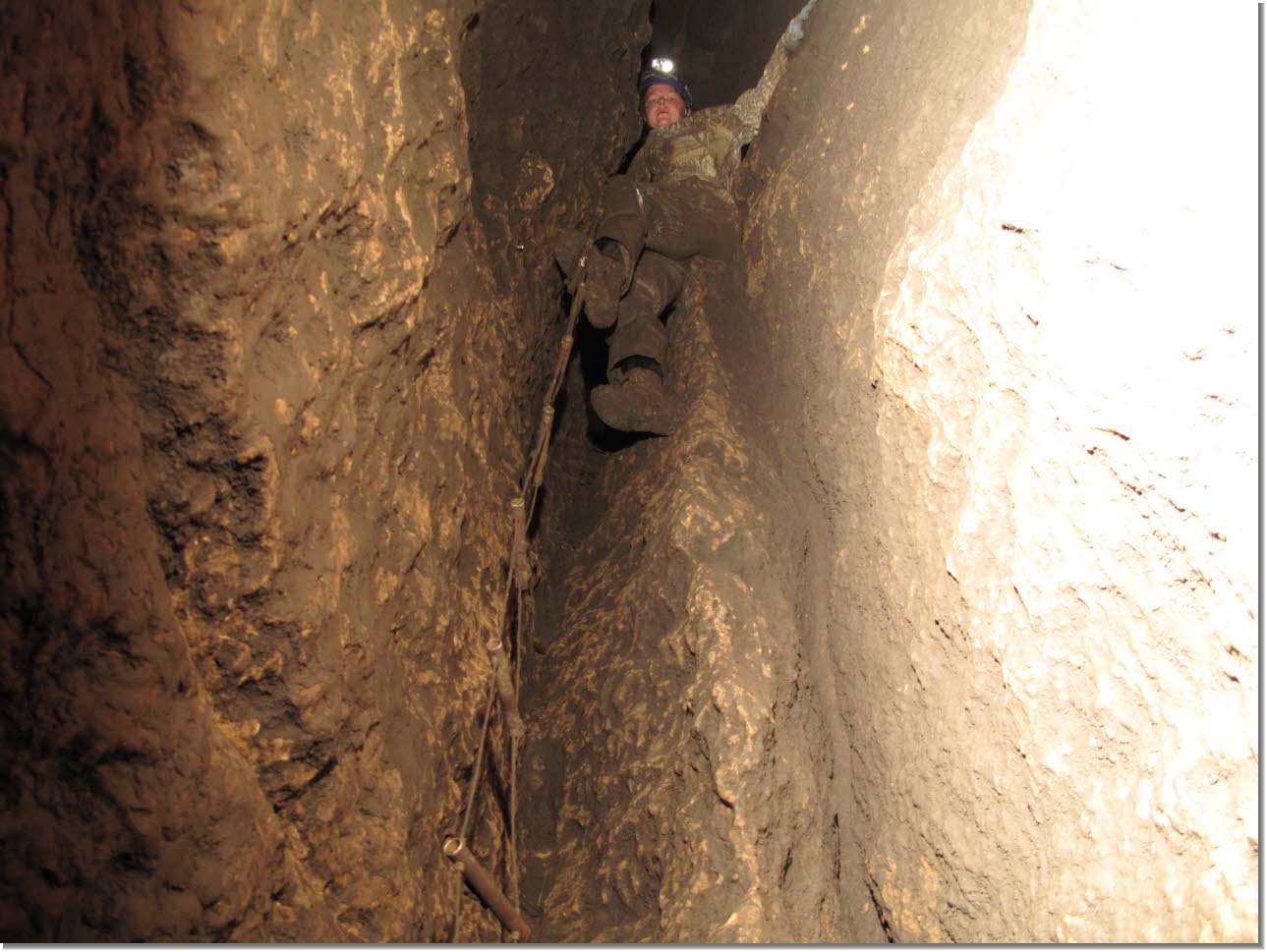
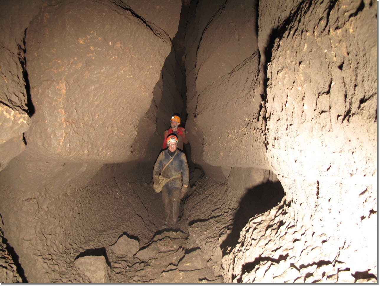
There
are at least 10 known stream passages that eventually converge into the
Rubicon Passage. |
What
a treat to see and hear this! |
 Click for larger view |
 Click for larger view |
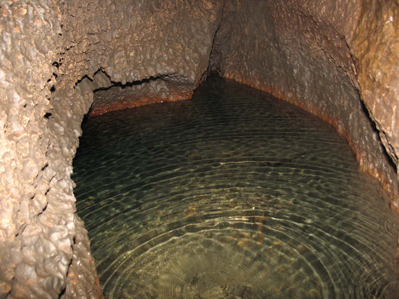
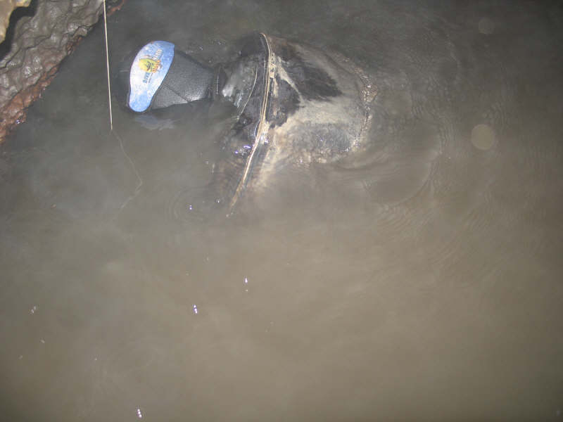
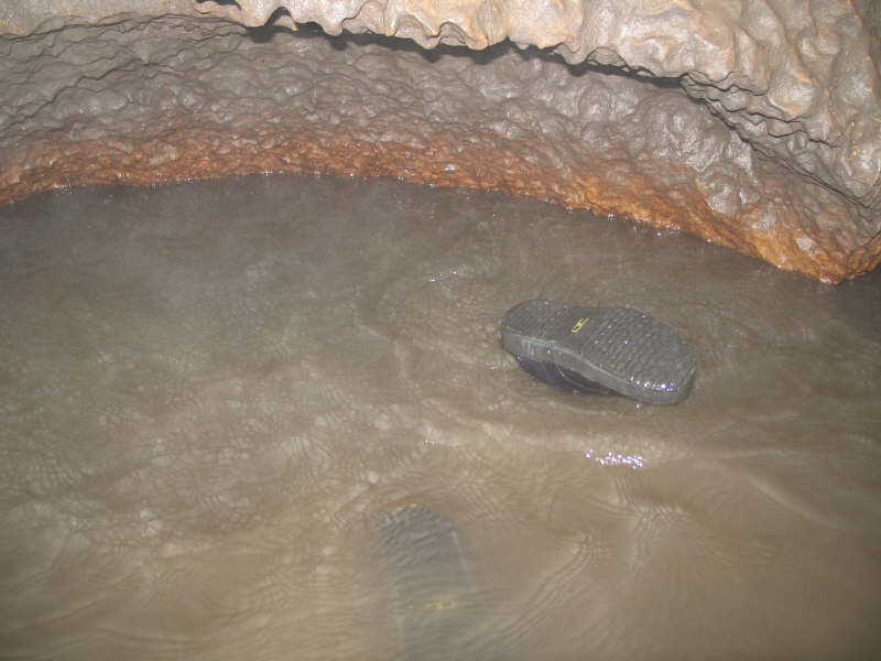
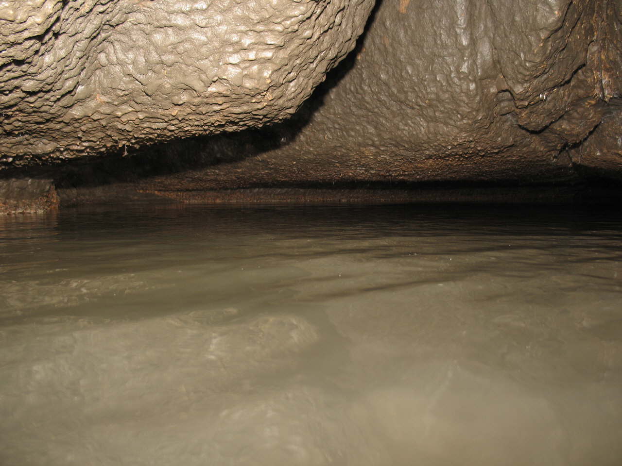
This
deep pool of water has prevented us from continuing ahead. We will need
to follow it with SCUBA gear. |
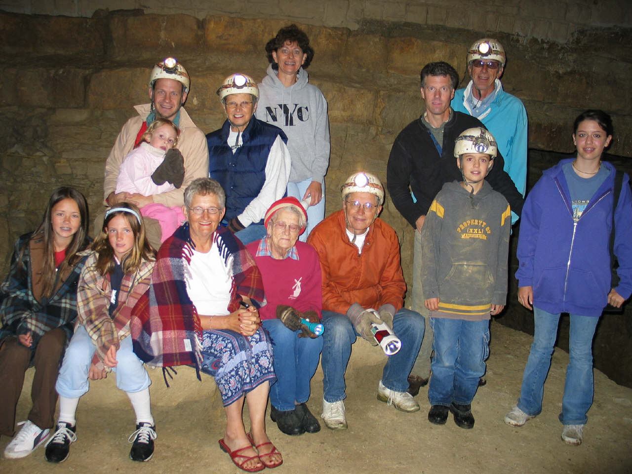
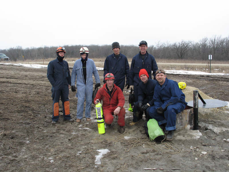
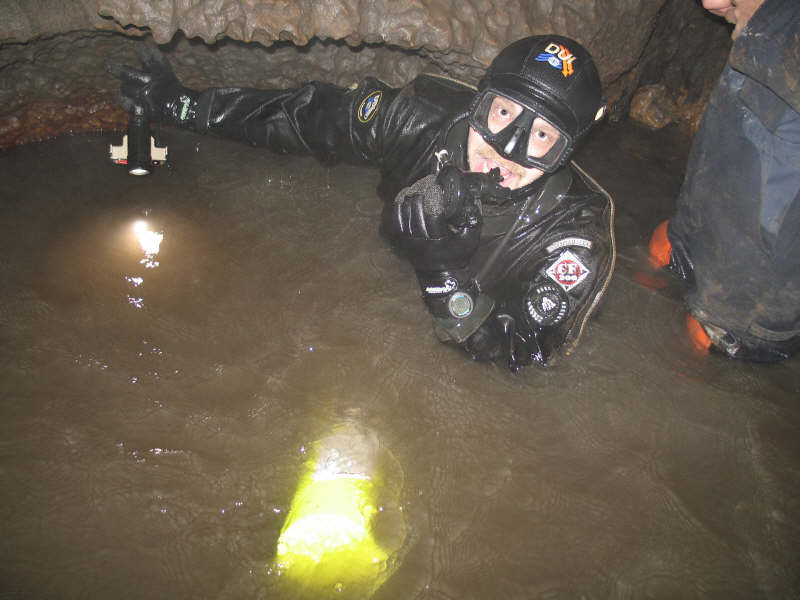
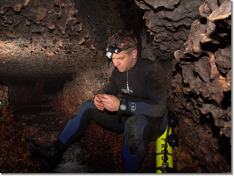
It
takes a team effort to crack the sump. All participants shown here are
divers. Three are certified cave divers. |
 Click for larger view |
 Click for larger view |
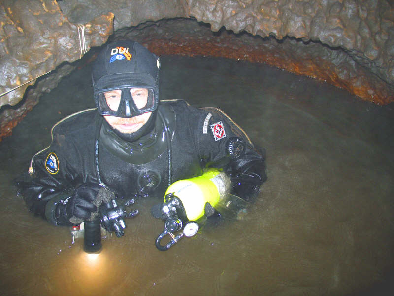
John
Preston, a certified cave diver, prepares to dive under the sump. Since
the disturbed water is inky black, he will have to feel his way through
the water filled chambers in hopes of encountering air filled passages. |
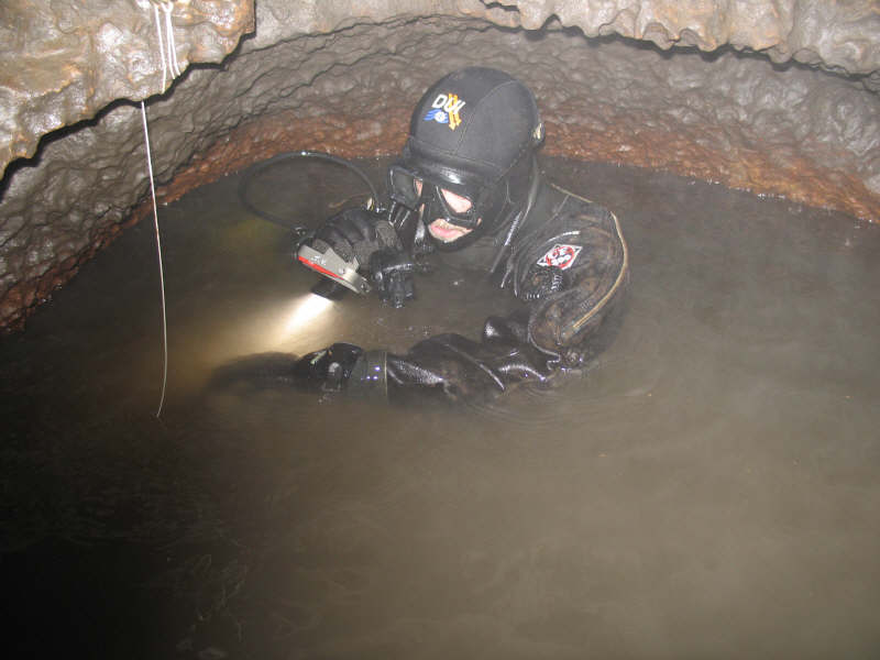
He
checks his watch. He will need to turn back within 30 minutes. |
 Click for larger view |
 Click for larger view |
He
makes sure his breathing apparatus is functional and the safety line is
securely positioned in his hand. If he looses this line he may become
hopelessly lost in the total blackness and not find his way back. |
Cave
diving is considered the most dangerous sport in the world. |
 Click for larger view |
 Click for larger view |
|
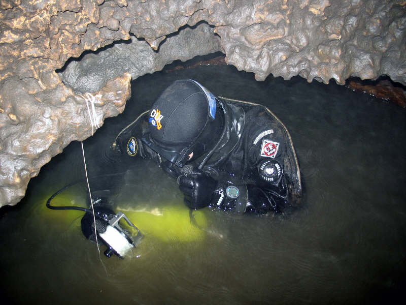
If
the bubbles cease we know he has either popped up into an air filled passage
or has drowned. |
 Click for larger view |
 Click for larger view |
After groping through a maze of subterranean passages Preston surfaces into a new cave segment. He quickly returns with fantastic news. Later, John Ackerman also dons SCUBA gear, retraces Preston's route and together they explore and survey over 1/3 mile of stupendous breathtaking passage. Ackerman names this new branch of Goliath's Cave the "Iconoclast" section. |
John
Preston in the Iconoclast Section. This portion of the cave was formed
in the Stewartville rock strata. |
 Click for larger view |
 Click for larger view |
John Prestoon in the Iconoclast Section. |
In
February 2005 John Ackerman and Clay Kraus decided to focus on a remote
unsurveyed portion of the cave, which contained a broad lake. It had been
theorized that some of the outbuildings on the Sikkink homestead may actually
lie in the vicinity above this region. A special cave radio locater, capable
of transmitting through 150ft of solid rock, was transported to the site. |
 Click for larger view |
 Click for larger view |
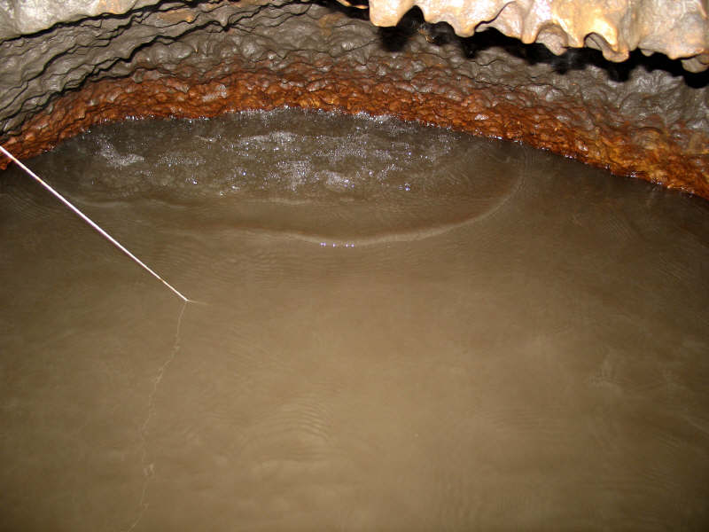
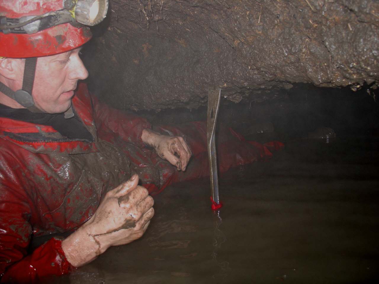
This
photo captures John setting up a makeshift marker in a nearby passage,
which would display rising water levels. Several additional inches of
water could sump nearby passages, trapping or drowning cavers. |
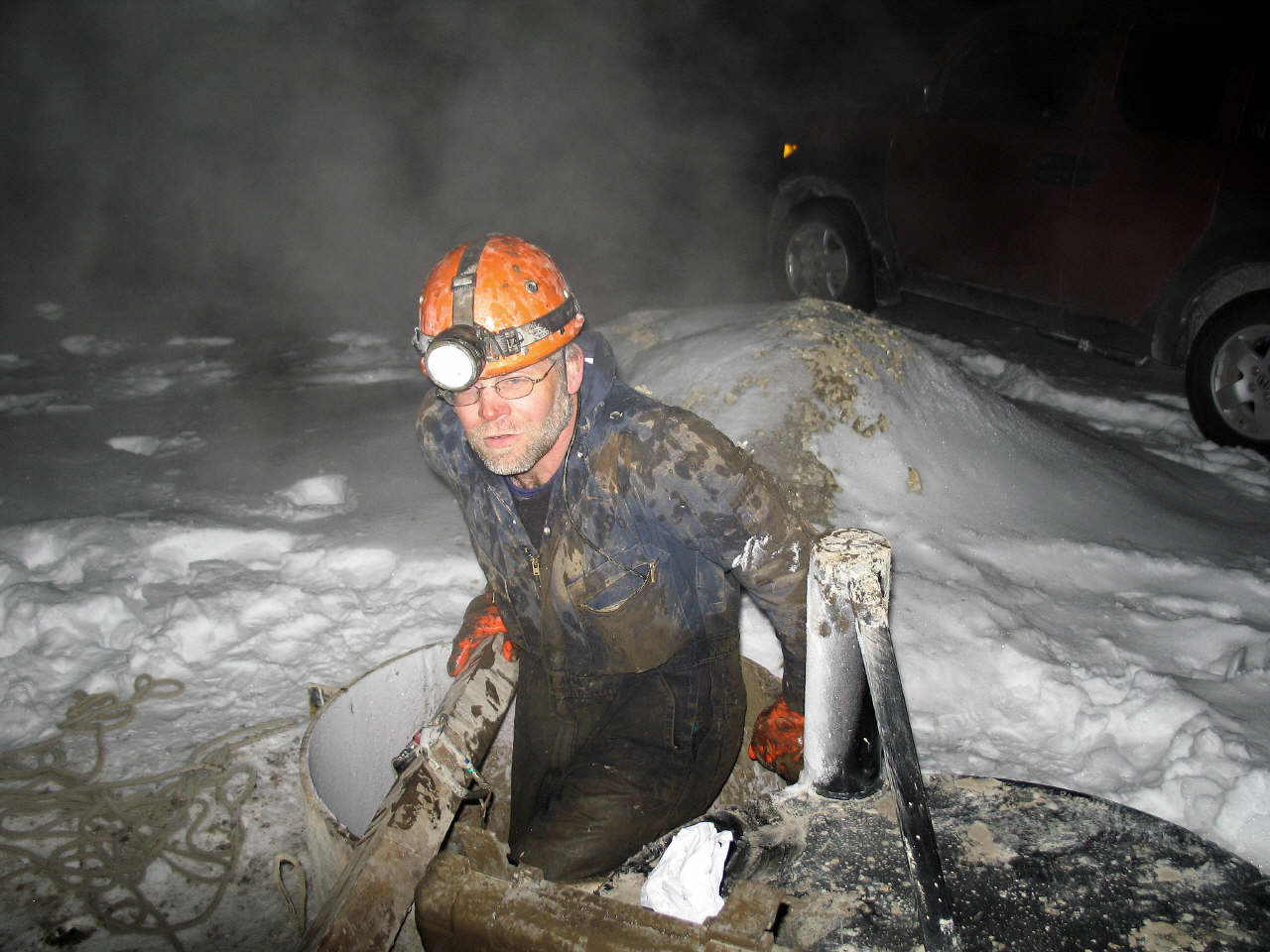
After the location readings were obtained and verified on the surface John and Clay made their return journey through the cave system and back out into the crisp winter air. Brr! |
 Click for larger view |
 Click for larger view |
John, Clay and Dave Gerboth wasted no time in retracing the survey data on the surface. The final tape and compass reading led directly to the Sikkink home, where it terminated in Venitta's kitchen. It is now known that the largest body of water in the cave lies directly under the 130 year old home! This was a bizarre revelation given the fact that over two miles of convoluted cave passages stretch through thick forested and hilly terrain before ending in a huge lake directly under the home.
|
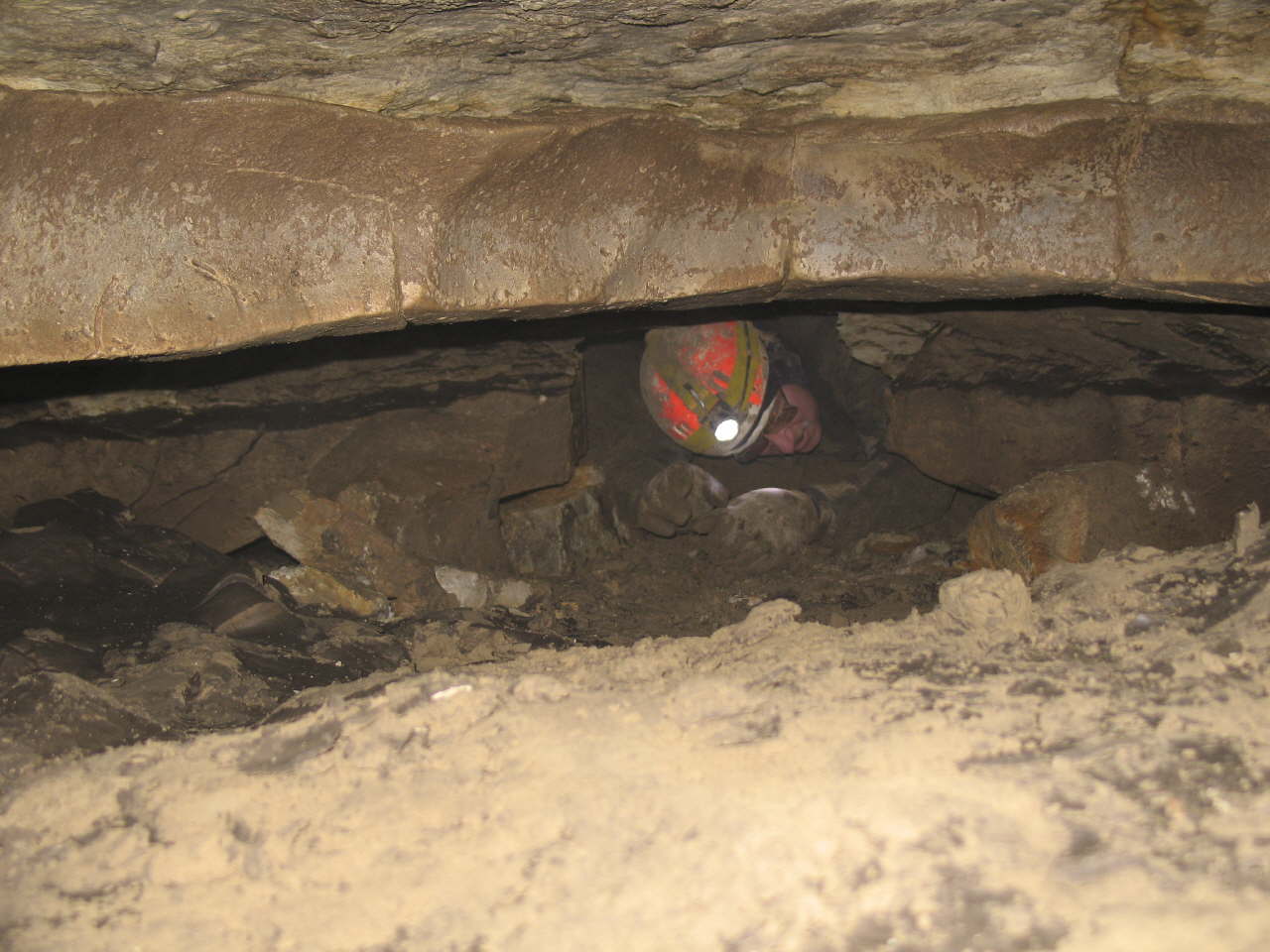
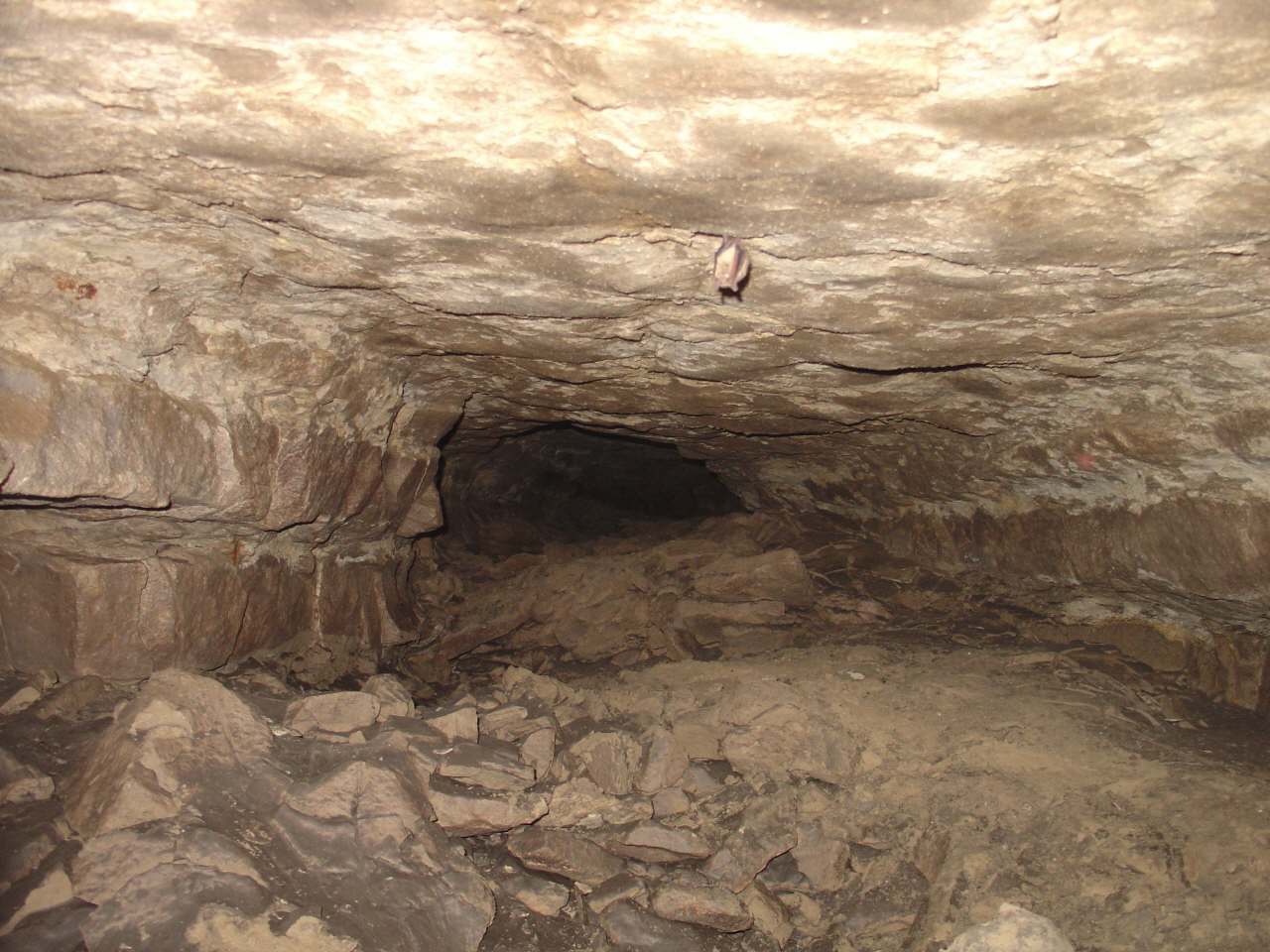
Also
in 2005 an extensive dry upper level was discovered after digging through
several dirt filled constrictions located upstream from the man made entrance. |
 Click for larger view |
 Click for larger view |
He was immediately greeted by a groggy bat! Our subsequent survey revealed that this bat had flown into the passage from connecting SNA/DNR passages. We had inadvertently discovered another major section of cave for the SNA/DNR. |
A few years later John ventured through the main low (and nearly water filled) downstream passage in his quest to locate the miles of passages that dye tracing has proven exist. |
 Click for larger view |
 Click for larger view |
John discovered a 20’ tall dome along the side of the stream passage and spotted a gap near the ceiling. John felt that it could be entered using the right gear. |
A special
grappling hook was constructed, which John managed to toss up through
the gap. John climbed up the rope which was attached to the grapping hook
and discovered a 42’ tall room with a 6’ tall passage leading off into
the distance. After 52’ John was stopped by a rock blockage, but was eventually able to break through. He moved forward for a short distance and then climbed up into an amazing dry upper level. READ THE STORY
. |
 Click for larger view |
 Click for larger view |
David Gerboth and Clay Kraus in the newly discovered upper level. |
Over one quarter mile was surveyed. The survey revealed that this dry upper level lies directly above the main lower stream passage. |
 Click for larger view |
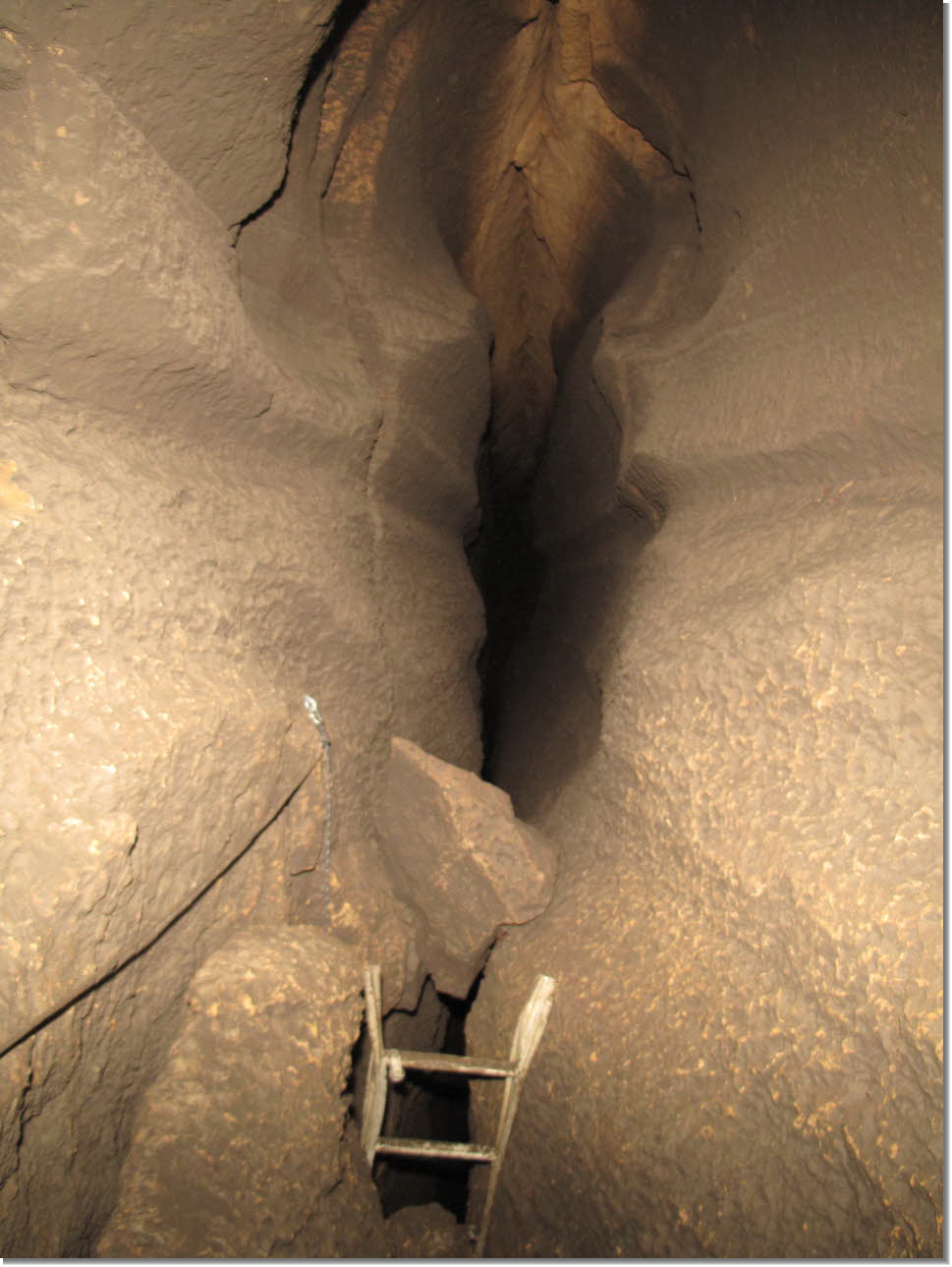 Click for larger view |
An easier route up to the new upper level was discovered from the main Rubicon stream passage. This ladder was subsequently installed down to the Rubicon passage. |
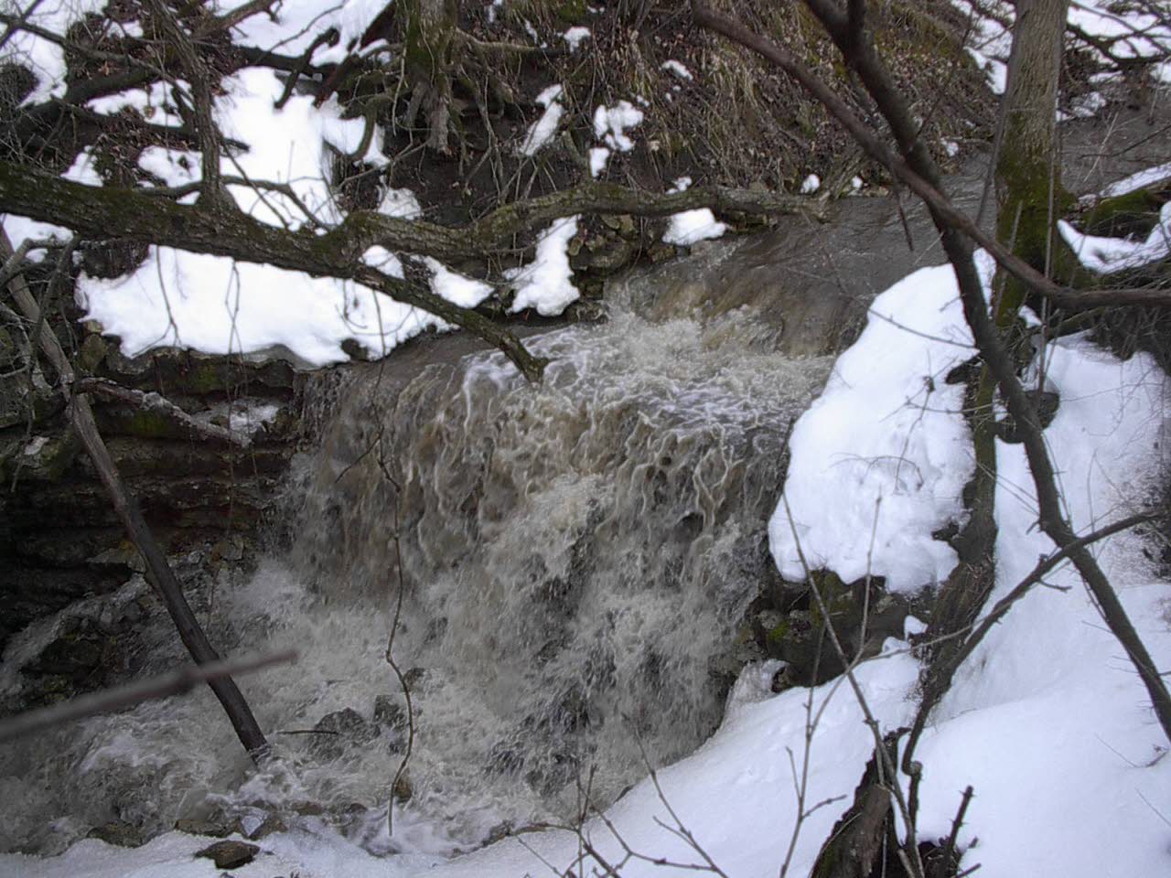
In the meantime continual flood events are occurring at the sinkhole entrance to Goliath’s Cave on the SNA/DNR property. This is especially harmful to the cave environment, especially during the summer and fall seasons, when copious amounts of soil and debris wash into the cave. |
 Click for larger view |
 Click for larger view |
Sediment, glass, plastic and assorted debris races through the SNA/DNR portion of the cave and is deposited in the Minnesota Cave Preserve’s lower section. |
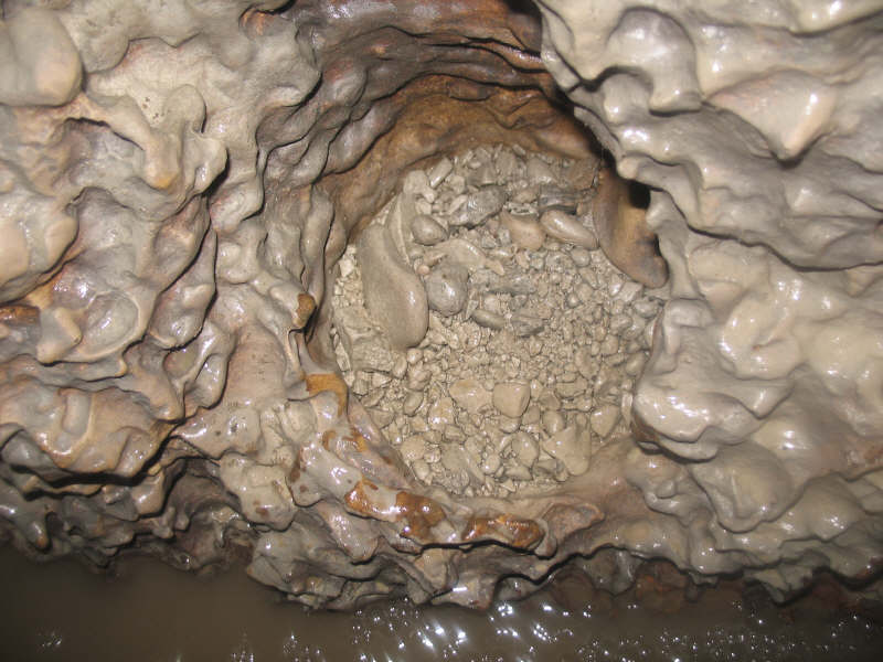
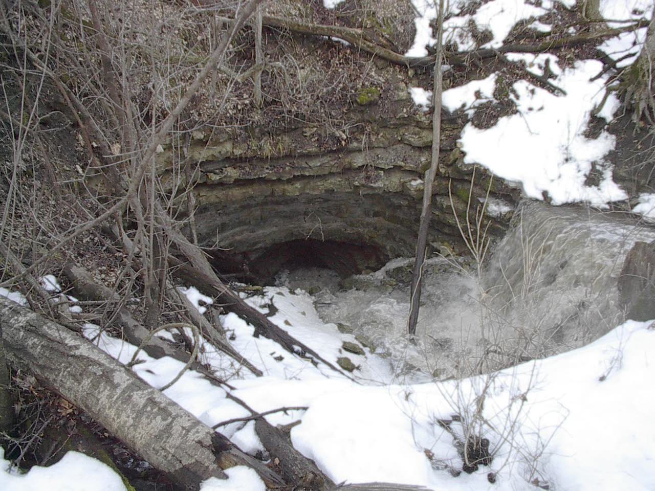
This is what the sinkhole entrance looks like after a major flood event. The sinkhole has sealed itself naturally, effectively acting as a filter for water intrusion. |
 Click for larger view |
 Click for larger view |
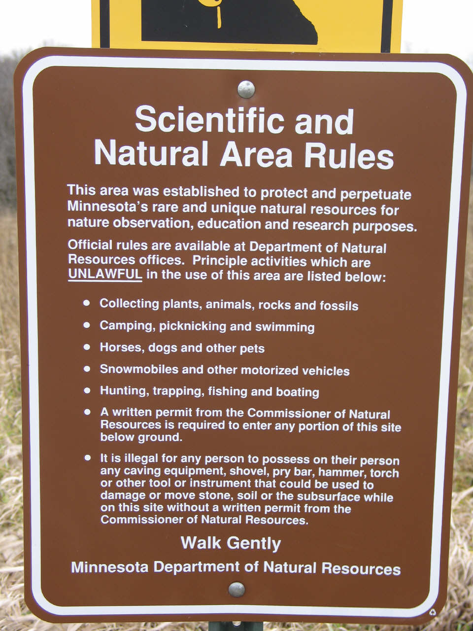
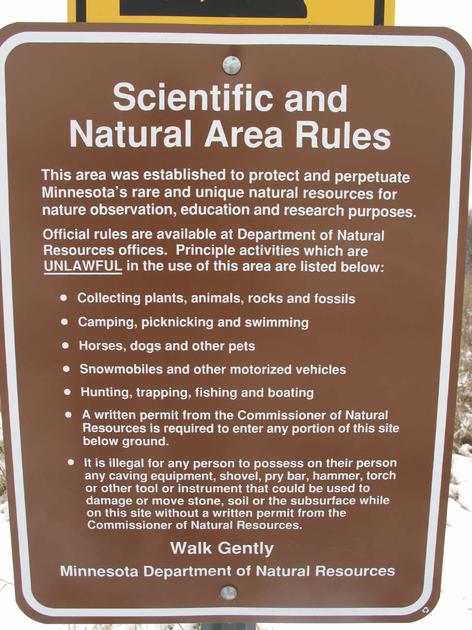
And yet the SNA/DNR spends our tax dollars to continually reopen this sinkhole under the premise that it serves as an access to the cave. A simple safe, secure and water tight man-made entrance, which the Minnesota Cave Preserve has offered to install for no charge, is not an option for the SNA/DNR. Surface debris continues to pollute this once pristine underground wilderness. The SNA/DNR is in direct violation of their own policy, which states that: “Any activity that violates or damages resources - air, water, soil, plants, animals, and rocks - is punishable by fine or jail sentence.” |
|
Goliath's Cave History Home |